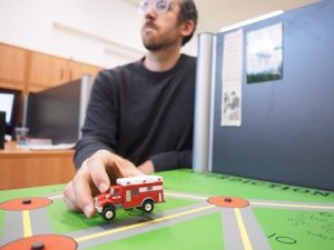
Time sensitive medical emergencies, including many maternal and child health issues, are responsible for one third of deaths in low and middle-income countries. Many of these deaths can be avoided with faster ambulance response. Dhaka, the capital city of Bangladesh and the tenth largest city in the world, does not currently have a centralized emergency medical service (EMS) system and primarily relies on private ambulance services to transport patients. The lack of a coordinated EMS system has resulted in poor ambulance positioning, inefficient response routes, and subsequently, restricted access to health care. The ambulance emergency response optimization (AERO) project aims to build a coordinated EMS effort and reduce ambulance response times in developing urban centres by determining the optimal locations to station ambulances and the best routes to reach each patient.
Dhaka presents a unique challenge because the road network, like in many developing urban centers, is very unpredictable. Traffic can be extremely congested, yielding to ambulances is not the norm as it is here in Canada, and violence/political demonstrations often cause route disruptions. To address these challenges, we developed a robust ambulance location and network flow model that accounts for traffic uncertainty. We used GPS technology to collect and estimate travel time information across the city for different times of day and days of the week. To estimate future ambulance demand, we obtained the 2011 census and used surveys to collect information from 3000 patients arriving to emergency rooms in 17 major hospitals across Dhaka.


